EU-Caribbean Space Cooperation: leveraging new space capabilities for emergency response and environmental protection
April will be an important month for European Union-Caribbean relations, as EU and Dutch officials, space industry experts and scientists will meet on the Island of Bonaire for a first-of-its-kind event focused on space cooperation.
15 March 2024
Overview of the programme
The event “Fostering Innovation and Cooperation in Space between the EU and LAC”, (Bonaire, 4 - 5 April 2024), seeks to stimulate awareness of EU space capabilities in the Caribbean; it will highlight the tangible uses of key European Union Space Programme components (Copernicus, Galileo and EGNOS) across various downstream sectors, while also providing excellent networking and pitching opportunities to space entrepreneurs.
The first day will be inaugurated by an overview of present EU – Caribbean cooperation in the space domain, which takes shape within the broader context of the Global Gateway strategy and the EU-LAC Digital Alliance and a renewed bi-lateral agenda (2023 EU-LAC Summit) at the continental level.
Following the opening session, the programme will proceed with presentations and demonstrations on three critical topics for the Caribbean islands, starting with emergency response and maritime and air transport on day one and concluding with a focus on environmental protection on the second day.
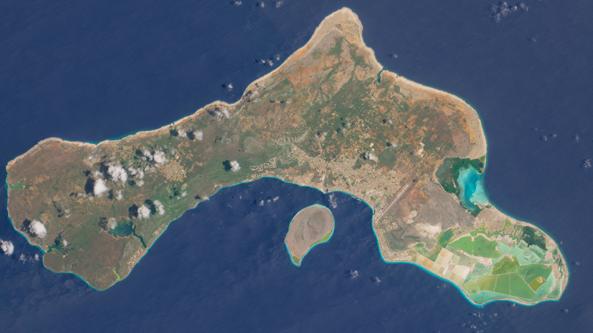
The event will conclude with a visit to the new Galileo Sensor Station in Bonaire, where participants will attend a presentation on the perseveration of the marine environment.
Notable guests will include the Dutch astronaut André Kuipers, who will deliver a pre-recorded speech, Ambassador Rene Van Nes, head of the EU Delegation to Guyana for Suriname and with responsibility or Aruba, Bonaire, Curaçao, Saba, St Barthelemy, St Eustatius and St Maarten and Mr E.E. Edison Rijna, Special Envoy for the Caribbean Netherlands for EU funds, UN funds and economic relations with Latin America.
Maximizing synergies between EU Satellite signals and imagery for the benefit of all
The Latin America and the Caribbean (LAC) region is the second most natural disaster-prone region in the world, with approximately 150 million people affected by more than 1,200 disasters between 2000 and 2019. The region is increasingly stricken by earthquakes, landslides, floods, and storms, coming at huge human and economic costs. For these reasons, it is essential that emergency services can rely on precise positioning data to reach impacted locations and identify people in distress.
Galileo, the EU’s Global Navigation Satellite System (GNSS) and the world’s most precise system of its kind boasts an unparalleled level of accuracy, which not only supports citizens in orienting themselves in busy city streets but also provides guidance to emergency vehicles in crisis situations through a wide array of services. The new High Accuracy Service (HAS), for instance, can deliver up to 20 cm horizontal accuracy and 40 cm vertical accuracy to Galileo-enabled devices, worldwide. The upcoming Galileo Emergency Warning Satellite Service (EWSS) 1 represents another example: it will provide national authorities with an alert system to warn citizens of imminent natural disasters in their area; the important advantage of the service will be its resilience, as it will remain available also in case of congested networks or damaged communications infrastructure.
The Caribbean islands, and Bonaire in particular, already play a key role in the Galileo architecture with a new Galileo Sensor Station built on the island. Indeed, Galileo's satellite constellation is supported by a network of transmitting and receiving stations placed in strategic sites around the world. Following the event, the participants onsite in Bonaire will have the opportunity to visit the station.
The synergy between satellite imagery produced by Copernicus and satellite navigation signals generated by Galileo’s infrastructure has a proven track record of supporting civil protection agencies and emergency response personnel with reliable services. The Galileo Emergency Warning Satellite Service (EWSS) will complement the already operational Copernicus Emergency Management Service (CEMS), which provides mapping products such as Rapid Mapping and Risk and Recovery Mapping services at the global level.
The European Commission is establishing two Copernicus regional centres respectively in Chile (data centre) and Panama (focused on Emergency Management), to allow for a more targeted use of Copernicus satellite data and images in the region.
Copernicus for environmental protection: the Great Atlantic Sargassum Belt
The Great Atlantic Sargassum Belt is a large masse of Sargassum algae afflicting the Gulf of Mexico and the sea around the Caribbean Islands. The presence of large quantities of these algae in the area has been known for centuries, but in recent years its alarming growth rate has sparked concern among scientists and affected communities.
When amassed on coastlines, the decay process of the algae triggers the release of toxic elements which pose risks to human health. Other negative effects include the proliferation of bacteria and the entanglement of jellyfish and plastic debris. The Sargassum Belt and its effects also jeopardise the tourism industry, which is vital for the economic livelihood of Caribbean islands.
The sustained and extended monitoring of Sargassum masses is, therefore, fundamental to forecasting potential spikes and understanding patterns and trajectories. That’s where the Copernicus Earth Observation component of the EU Space Programme comes into play, specifically through its Copernicus Marine Service.
The Copernicus Marine Service is one of the six services2 of the European Union Space Programme component Copernicus. It provides free and open marine data, imagery and services to enable the implementation of marine policies, support the Blue Economy, and foster scientific innovation. The data provided by this service comes from various sources, such as the Copernicus satellites, ‘in situ’ observations (i.e., data obtained from buoys at sea), and ocean models, with different temporal resolutions including near real-time, multiyear, and forecasts up to 10 days, covering Blue (physics), Green (biogeochemistry), and White (sea ice) Ocean variables.
Copernicus Marine Service data supports multiple projects addressing environmental issues, such as the one generated by sargassum in the Caribbean Sea, by supplying satellite data for its detection, as well as ocean physics data for studying and predicting the dynamics of the region.
Copernicus features high-end technology both in the in situ and space segments, providing daily data on multiple phenomena taking place across the globe. With its infrastructure undergoing constant upgrades and new Sentinel Expansion Missions set to be launched in the coming years, Copernicus can represent an added value for Caribbean public agencies and local companies.
A first-of-its-kind event
The upcoming event in Bonaire will address in detail the range of services offered by Copernicus, Galileo and EGNOS, and the market segments and services they can support in the Caribbean. Guided by experts in the specific fields, participants will be able to assess new innovative opportunities by leveraging Copernicus' high-quality satellite imagery and Galileo's precise Positioning, Navigation and Timing signals.
The event will contribute to strengthening cooperation between the European Union and the Caribbean on space, with top experts and practitioners highlighting new inroads for digitalization, trade and investment in a sector with enormous potential.
1 The service is set to launch in 2025
2 Copernicus Atmosphere Monitoring Service (CAMS), Copernicus Emergency Management Service (CEMS), Copernicus Climate Change Service (C3S), the Copernicus Land Monitoring Service (CLMS), Copernicus Marine Service (CMEMS) and the Copernicus Security Service.
→ Register here for the event
→ Read more about the EU-LAC Digital Alliance
→ Read more about the Global Gateway strategy for the LAC region
→ Explore our global market report for the Latin America & Caribbean (LAC) region
→ Explore the Six Copernicus services